

















































UN backs new world map in bid to correct Africa’s distorted size

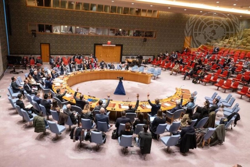
The United Nations General Assembly has backed a resolution calling for greater use of world maps that more accurately represent the true size of continents, particularly Africa, challenging the centuries-old dominance of the Mercator projection.
The “Correct the Map” resolution, sponsored by Togo and supported by African Union (AU) members, received 164 votes in favour.
The United States was the only country to vote against it, while six countries abstained.
Although the resolution is non-binding, its supporters say it could encourage governments, schools and international institutions to reconsider the maps they use.
The campaign centres on the Mercator projection, created in 1569 by Flemish cartographer Gerardus Mercator.
Originally designed to help European sailors navigate, the map preserves compass directions and allows a straight line on the chart to represent a constant bearing at sea.
Its strength as a navigational tool, however, comes at the cost of significant distortion in the size of landmasses.
Countries and regions become increasingly enlarged as they move towards the poles, while areas around the equator appear relatively smaller.
One of the most striking examples is the comparison between Africa and Greenland.
On a Mercator map, the two can appear similar in size, although Africa is about 14 times larger than Greenland.
Supporters of the campaign argue that this is more than a technical cartographic problem.
They say repeated exposure to distorted maps can influence how people perceive the importance, resources and economic potential of different parts of the world.
“A fair world begins with a fair map,” Togo’s Foreign Minister Robert Dussey told Reuters ahead of the vote.
He argued that maps influence how people understand the place of continents and peoples in the world.
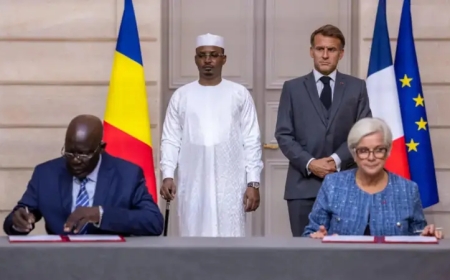
France has also backed the change.
Foreign Minister Jean-Noël Barrot said his ministry would stop using the Mercator projection, arguing that correcting a distorted representation was “an act of truth”.
The proposed alternative is the Equal Earth projection, developed by cartographers in 2018.
Unlike Mercator, Equal Earth is an equal-area map, meaning the relative sizes of continents and countries are represented much more accurately.
The African Union’s 54 member states adopted it in February.
But no flat world map can represent everything perfectly.
Because Earth is spherical, every two-dimensional projection must compromise between area, shape, distance and direction.
The Peters projection, for example, also preserves the relative size of landmasses but significantly distorts their shapes.
Other approaches, such as maps that place the southern hemisphere at the top or shift the centre of the world, seek to challenge assumptions about which regions appear most prominent.
The United Nations itself uses a different approach in its emblem: an azimuthal equidistant projection centred on the North Pole.
It preserves direction and distance from the centre but becomes increasingly distorted towards the edges.
Critics of the UN resolution, including the United States, argue that the General Assembly should focus on more pressing global challenges.
US representative Yaryna Ferencevych described the debate over centuries-old maps as a distraction from issues such as international peace and prosperity.
For campaigners, however, the issue is precisely about how the world is understood.
Africa No Filter’s Lerato Mogoatlhe said the continent’s misrepresentation on maps is not simply a cartographic error but a question of narrative and perception.
The debate ultimately highlights a fundamental truth about maps ‘There is no perfect flat map of a spherical Earth’.
The choice of projection determines what is preserved—and what is distorted.
What's Your Reaction?
 Like
0
Like
0
 Dislike
0
Dislike
0
 Love
0
Love
0
 Funny
0
Funny
0
 Angry
0
Angry
0
 Sad
0
Sad
0
 Wow
0
Wow
0