





















































































Rwanda feels tremors after Earthquake strikes Northwestern Tanzania

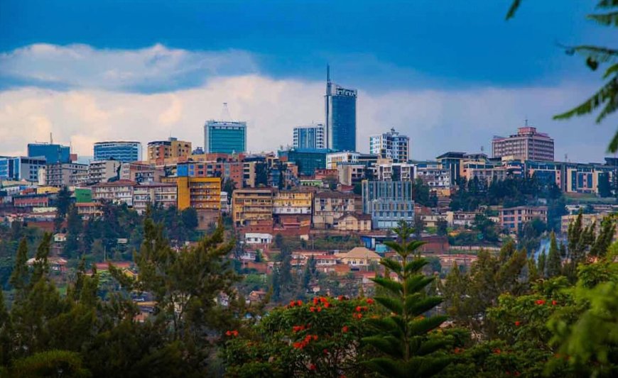
An earthquake that struck northwestern Tanzania on Thursday, November 5, 2026, sent tremors across parts of Rwanda and several other East African countries, with authorities assessing its possible impact.
The earthquake struck near Ushirombo in the Geita Region of Tanzania at approximately 11:22 a.m. Rwanda time, according to information shared by the Rwanda Mines, Petroleum and Gas Board (RMB).
The US Geological Survey (USGS) recorded the earthquake at magnitude 5.1, with its epicentre approximately 19 kilometres north-northwest of Masumbwe, near Ushirombo, and a depth of about 10 kilometres.
Initial seismic reports had provided different magnitude estimates, including 5.6, before measurements were revised.
The final figure may be updated as monitoring agencies analyse additional seismic data.
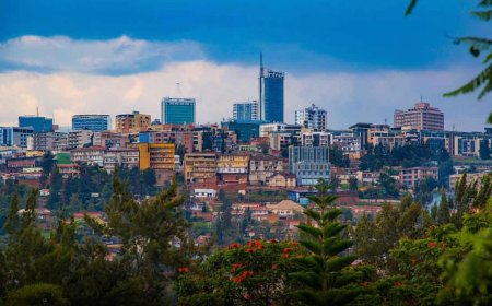
The tremors were reportedly felt in several parts of Rwanda, while residents in neighbouring countries, including Tanzania, Uganda and Kenya, also reported ground shaking.
Cities mentioned in public reports included Mwanza, Kampala and Nairobi.
In Rwanda, the RMB said the earthquake had been felt in different parts of the country.
The agency indicated that investigations were continuing to establish whether the incident had caused damage or other consequences.
The earthquake’s relatively shallow depth may have contributed to the shaking being felt over a wider area.
According to the USGS, earthquakes occurring closer to the Earth’s surface generally produce stronger shaking at ground level than deeper earthquakes of similar magnitude.
The region is situated within the East African Rift System, an extensive geological zone where the Earth’s crust is gradually stretching and separating.
According to the USGS, the rift system extends for approximately 3,000 kilometres, from the Afar region in northeastern Africa towards western Mozambique.
Its geological activity is associated with fault movements, volcanic activity and earthquakes.
Earthquakes occur when accumulated pressure along geological faults is suddenly released, generating seismic waves that travel through the Earth’s crust.
These waves can be felt far from the original location, depending on the earthquake’s magnitude, depth and the geological conditions along their path.
The region has experienced several significant earthquakes in the past.
One of the most destructive was recorded on March 20, 1966, in Uganda’s Tooro region, measuring approximately magnitude 6.6.
Its effects were felt across several neighbouring countries, including Rwanda, according to historical records.
What's Your Reaction?
 Like
1
 Dislike
0
 Love
0
 Funny
0
 Angry
0
 Sad
0
 Wow
0